Instruments
Our Instruments
Precision electromagnetic instruments built to perform in the most demanding field conditions. Available for purchase with full warranty and support.
Conductivity Meters
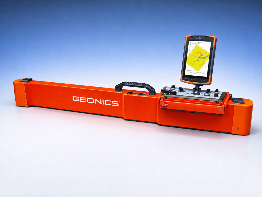
Geonics EM38-MK2
Ground Conductivity Meter
The Geonics EM38-MK2 provides measurement of both quad-phase (conductivity) and in-phase (magnetic susceptibility) components within two distinct depth ranges, all simultaneously, without any soil-to-instrument contact. With a maximum effective depth of exploration of 1.5 m, applications in agriculture, archaeology, and general soil sciences are common.
Depth
Up to 1.5 m
Frequency
14.5 kHz
Weight
5.4 kg
Temperature
-40°C to 50°C
Conductivity Meters
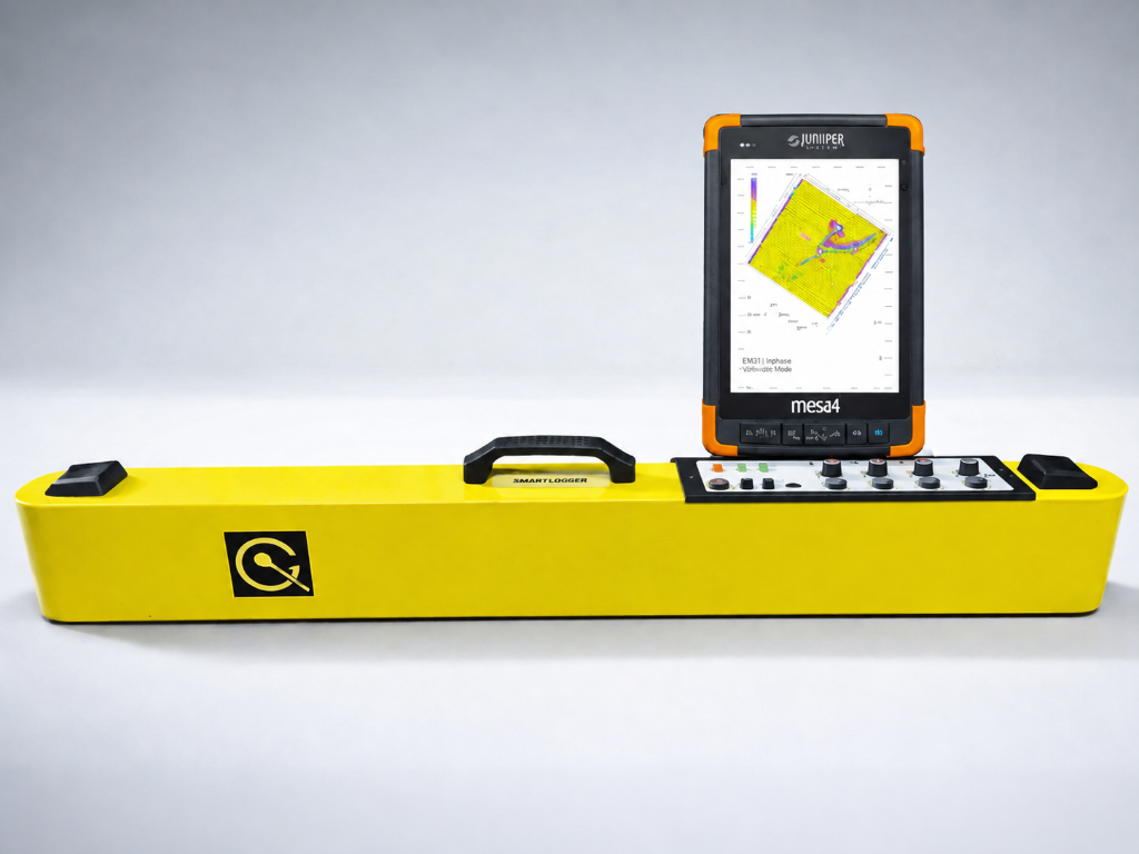
Geonics EM38-4
Four-Coil Ground Conductivity Meter
The Geonics EM38-4 features four receiver coils at 0.25 m, 0.5 m, 0.75 m, and 1.0 m separations from the transmitter, providing simultaneous conductivity measurements at four distinct depth ranges. This makes it ideal for comprehensive soil profiling and precision agriculture applications requiring detailed vertical soil structure information.
Coils
4 Receiver Coils
Frequency
14.5 kHz
Weight
~6.2 kg
Speed
10 readings/sec
Conductivity Meters
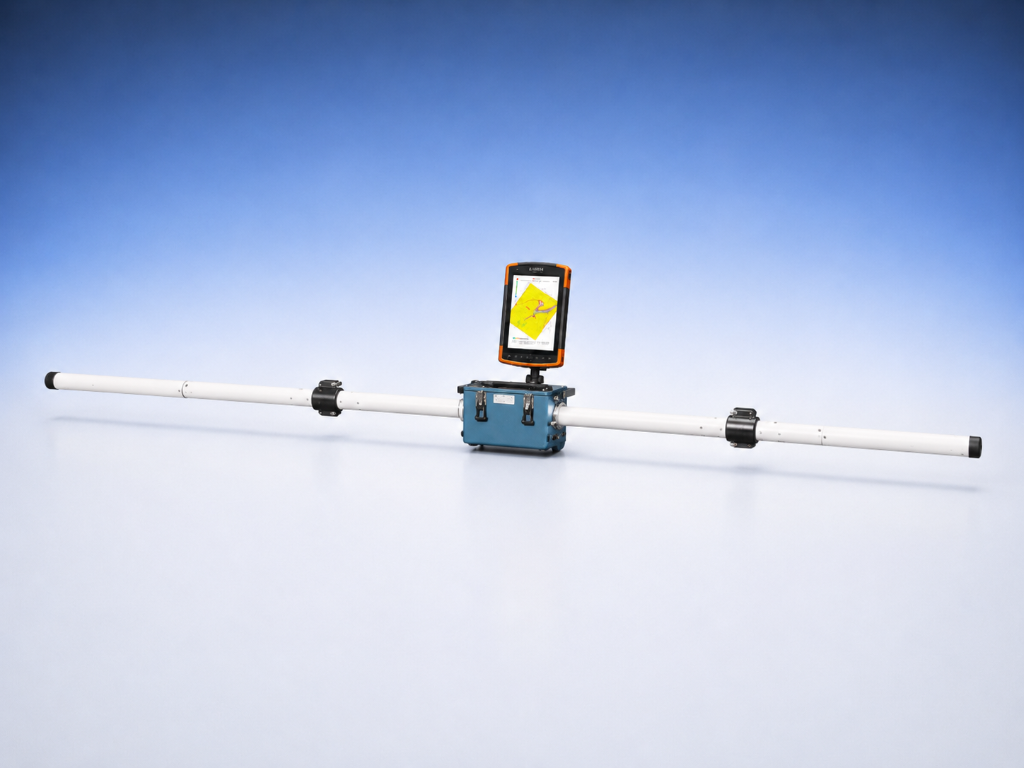
Geonics EM31-MK2
Terrain Conductivity Meter
The Geonics EM31-MK2 is a wide-bandwidth, frequency-domain electromagnetic terrain conductivity meter engineered for efficient mapping of apparent conductivity and in-phase (magnetic susceptibility) over large areas in a single pass. A rigid boom houses the transmitter and receiver coils at a fixed intercoil spacing — available in either a 2 m (short) or 3.66 m (12 ft, standard) configuration — enabling a nominal exploration depth of approximately 3 m / 1.5 m (2 m boom) or 6 m / 3 m (3.66 m boom) in vertical and horizontal dipole modes, respectively, without electrodes or ground contact. A built-in digital data logger with real-time LCD survey display allows in-field quality control, while integrated tilt compensation and automatic zero-drift correction preserve data integrity across uneven terrain. The instrument is widely deployed in groundwater and contaminated-land investigations, permafrost and vadose-zone studies, archaeology, and regional geologic mapping.
Depth
~6 m (VD)
Frequency
9.8 kHz
Weight
12.4 kg
Temperature
-40°C to 50°C
Metal Detection
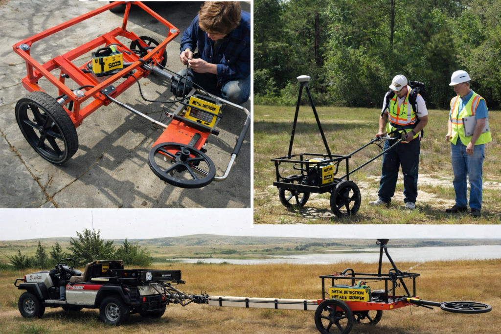
Geonics EM61-MK2
Metal Detection System
The Geonics EM61-MK2 is a high-sensitivity metal detector designed for the detection of buried metallic objects. Using time-domain electromagnetic (TDEM) technology, it provides excellent depth penetration ideal for UXO surveys, environmental site assessments, and archaeological prospection — without the limitations of frequency-domain instruments.
Depth
Up to 3 m
Technology
Time Domain EM
Weight
~9 kg
Battery
~8 hours
Metal Detection
Geonics EM61Lite
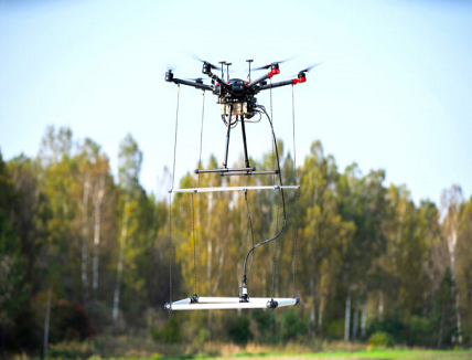
Drone-Integrated Metal Detector
The same performance and durability available for users of the standard Geonics EM61-MK2 time domain metal detector are now available for airborne use to find metallic objects in hard-to-reach or dangerous areas. With the integration of SPH Engineering industry-leading software, the new system is capable of detecting metallic (magnetic and non-magnetic) items in the first few meters beneath the surface. It can be applied for many applications, including UXO search, detection of underground infrastructure, and archaeological needs. The integrated system has been extensively tested at SPH Engineering's test range, and has shown excellent performance and reliability.
Platform
Drone-mounted
Technology
Time Domain EM
Depth
First few meters
Software
SPH Engineering